The Brow Hike has now been running for over 60 years and remains a popular event, continuing to attract entries from all over West Yorkshire and beyond.
The hike is a competitive incident hike, where completing incidents at checkpoints forms a major part of the hike. The route is the same every year, but two navigation exercises have been introduced on day one to test map reading skills.
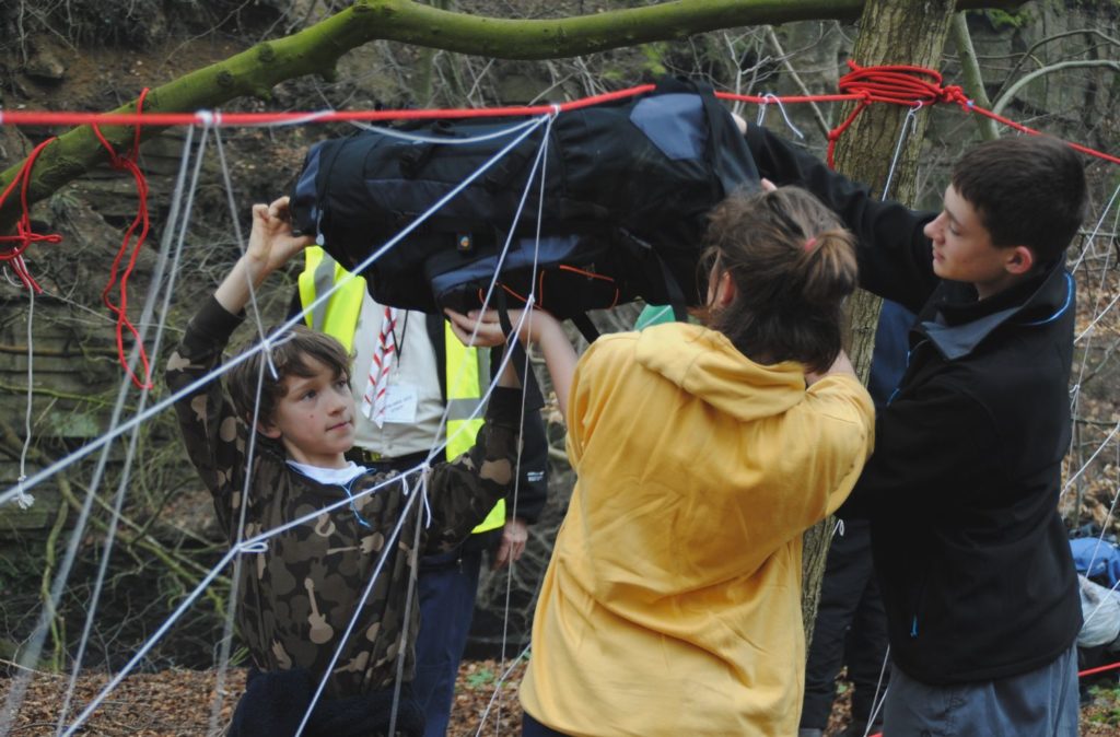
In the past, we have covered a wide range of incidents including current affairs, general knowledge, practical problem-solving tasks, first aid, weather systems, hill safety and map and compass skills.
There is also a focus on team-working and leadership skills, with an additional prize awarded to the best Team Leader.
The Brow Hike is a fun and challenging event that integrates perfectly with the Scouts and Explorer Scouts award schemes. It also makes an ideal training hike for those preparing for expeditions for the Duke of Edinburgh Award scheme.
Run by a highly experienced team, the Hike is fully supervised with thorough safety systems in place.
Beginners Guide
The route roughly follows the old Sowerby Bridge Urban District Council boundary. Some of the checkpoint locations move around each year while others remain fixed.
 Teams of 4 enter the hike, walking around 18km (11 miles) on the Saturday, and a further 13km (8 miles) on the Sunday. At some of the checkpoints, there is an incident for the teams to take part in before carrying on to the next checkpoint.
Points are awarded for speed of hiking, route plotting and navigation, performance at incidents, cooking food at the campsite and team leadership to give a score out of 1,000.
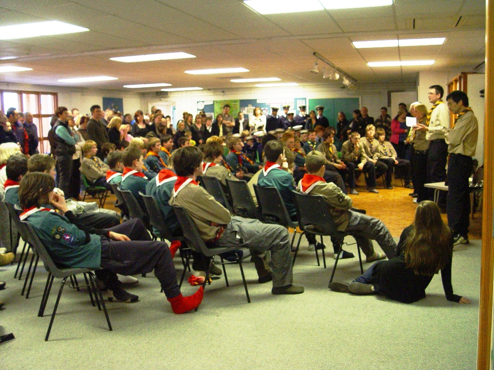
There are trophies awarded for first, second and third places along with a trophy for the highest-scoring team leader. However, all those who complete the hike are seen as winners and each receives the Brow Hike certificate.
The hike is controlled over the weekend by a dedicated and experienced team. All the checkpoints are in radio contact with Hike Control to ensure that the Hike Controller knows the whereabouts of all the teams. The Safety Check Officer follows the rear of the hike by car, with a Sweep Team following the back of the hike on foot. In the event of a team being overdue at a checkpoint, the Safety Officer and Sweep Team can be deployed to check all possible alternative routes quickly and efficiently until the team is located safely.
 All hikers carry with them a tally card detailing the locations of all the checkpoints. This also contains an emergency phone number, in case of any incident or accident.
When teams arrive at the finish they are checked in and changed into their uniform. They are then provided with a hot meal and are free to relax and put their feet up until the presentation which normally takes place at 3.15 pm if all the teams are in by then!
We spend a lot of time organising the event, we want every team that starts to get to the finish and we always do our utmost to ensure that happens.
The Marking System
Every year we use a points system that adds up to 1000. Scoring takes into account speed, navigation, performance at incidents, quality of food and leadership. A full breakdown is given below to help improve personal performance.
Food marking is broken down further to ensure that all hikers have enough hot food to eat, as it can be very cold and bleak at the campsite as many hikers can confirm.
| Area | How tested | Points | % |
| Incidents | 7 x incidents, each worth 50 points | 350 | 35% |
| Navigation | 20 points for quality and accuracy of route plotting from Grid References. 50 points per navigational exercise. | 120 | 12% |
| Speed | Staggered scores based on a Formula One style system. E.g. Fastest team= 350 points Second fastest team= 330 points etc. | 350 | 35% |
| Food | Saturday evening meal and Sunday breakfast marked out of 40. This breaks down as 10 points each for: 1. Hot Food 2. Suitability of Food 3. Amount of Food 4. Adequacy of cooking equipment |
80 | 8% |
| Leadership | Team Leader assessed at 4x Incidents, out of 25 marks at each | 100 | 10% |
| TOTAL | 1000 | 100% |

